NOTES, RESTRICTIONS, LIMITATIONS and CAVEATS for SPECIAL FLOOD HAZARD AREA COMPARISON MAPS (exhibits):
1. These exhibits (maps) are for presentation and general comparison purposes only and are not to be interpreted as “official” mapping exhibits. The official FEMA (Flood Insurance Rate Maps) plans as dated July 3, 2012 is the ONLY “official” document for the purpose of establishing and interpreting the FEMA floodplain limits on a specific property for insurance and other requirements. The “official” FEMA mapping can be found at the FEMA website: www.fema.gov/hazard/map/index.shtm . Paper copies are also available for this purpose. 2. The information provided on these exhibits (maps) have been drawn from different sources and are therefore subject to inconsistencies and inaccuracies. The information provided on these maps are not intended to convey or establish official limits for the purpose of any “official” determinations of flood hazard limits, needs of flood insurance, or otherwise. The official determinations can only be made utilizing the official “FIRM” mapping by FEMA and interpreted by its agents and representatives. 3. The Centre Township Parcel data (including lot lines, roadways, buildings, etc.) have been provided by the Berks County GIS department. 4. The Floodplain mapping, location and data were provided by FEMA agents (electronic format) but do not represent an official map and have been superimposed onto the separate County GIS data for presentation and general comparison purposes only (not official determinations. Note: Click on each link to view map as a PDF. FEMA LOCATION MAP FEMA MAP 1 FEMA MAP 2

 FEMA MAP 3 FEMA MAP 4

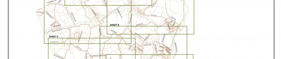
 FEMA MAP 5 FEMA MAP 6

 FEMA MAP 7 FEMA MAP 8

